XALA
XALA
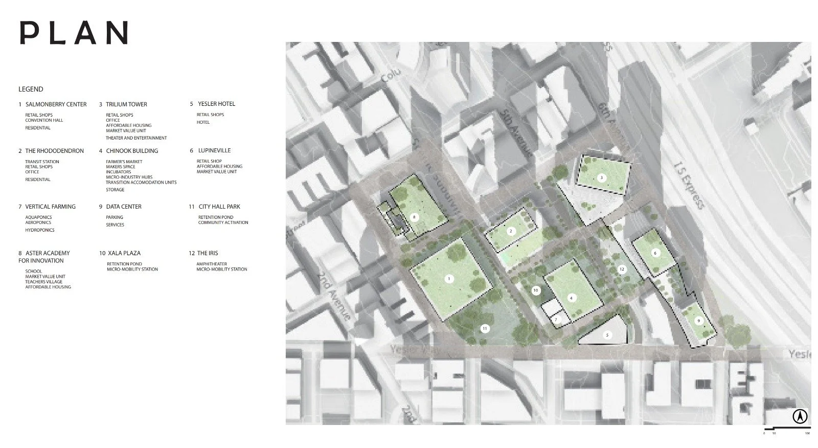
Overview: For the 2024 ULI Hines Competition, I collaborated closely with architecture, real estate, and building construction students from Georgia Tech to formulate a multifaceted development plan for the study area in downtown Seattle. We aimed to develop innovative solutions to promote diversity of housing for diversity of individual, sustainable design principles to reduce environmental impact and enhance resilience, and accessibility for all.
Implementation Tools: I utilized a variety of tools and software to bring our vision to life, including:
ArcGIS Pro and Urban: Leveraged GIS technology to analyze spatial data and inform decision-making processes.
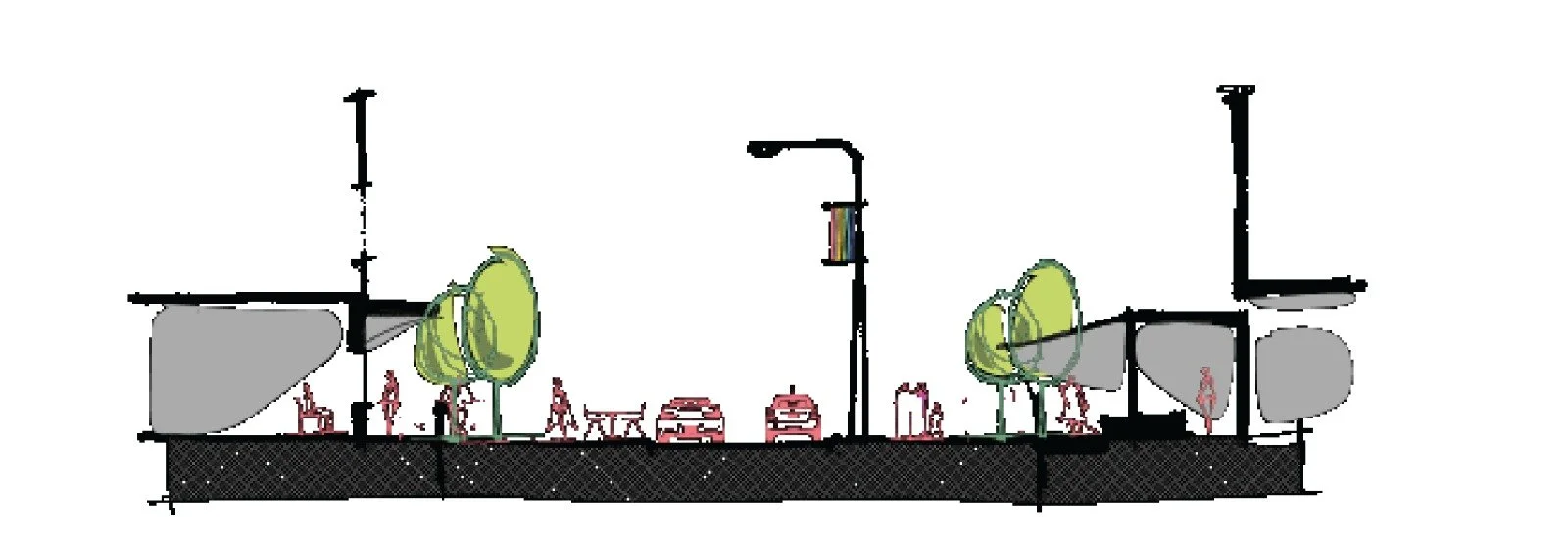
Streetmix: Utilized urban design software to create streetscape plans and visualize pedestrian-friendly environments.
Adobe InDesign: Designed visually compelling presentations and documents to communicate our ideas effectively.
Vision and Objectives: Our development plan was guided by the following principles:
Equity in the Built Environment: Ensuring fair and inclusive access to resources, amenities, and opportunities for all residents.
Creative Placemaking: Fostering vibrant and culturally rich public spaces that reflect the community's identity and values.
Inclusive Wellness: Promoting health and well-being by incorporating amenities and infrastructure that support physical activity, mental health, and social connectivity.
Biophilic Design: Integrating nature into the built environment to enhance human well-being and environmental sustainability.
Community Innovation: Encouraging collaboration and participation from diverse stakeholders to drive positive change and innovation.
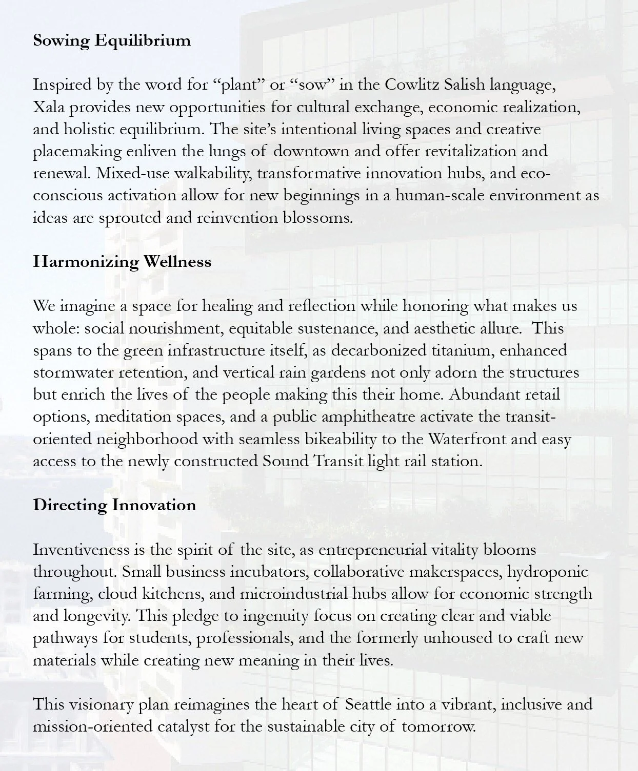
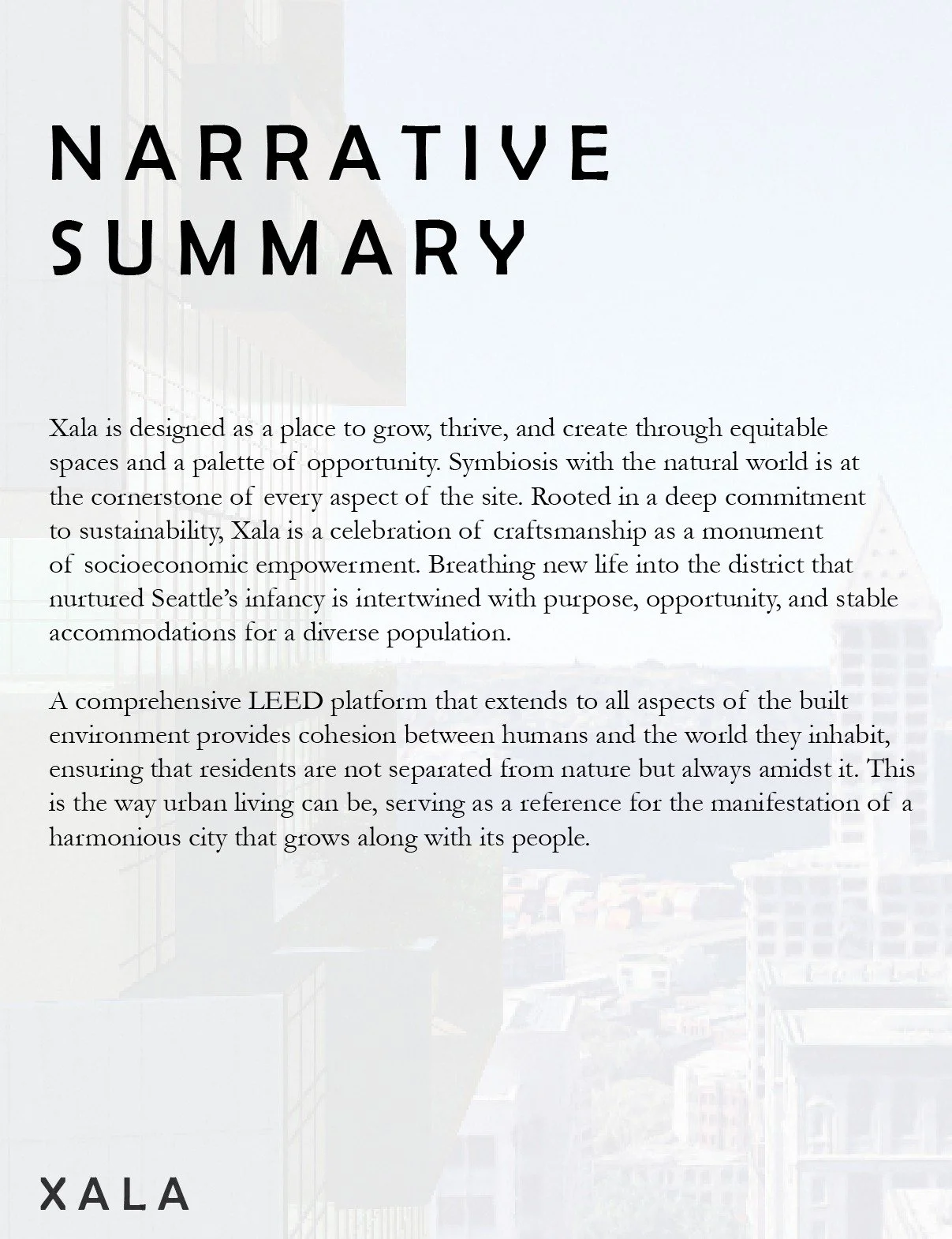
Crafted an overall narrative to meet our goals of social activation, community well-being, and impactful innovation.
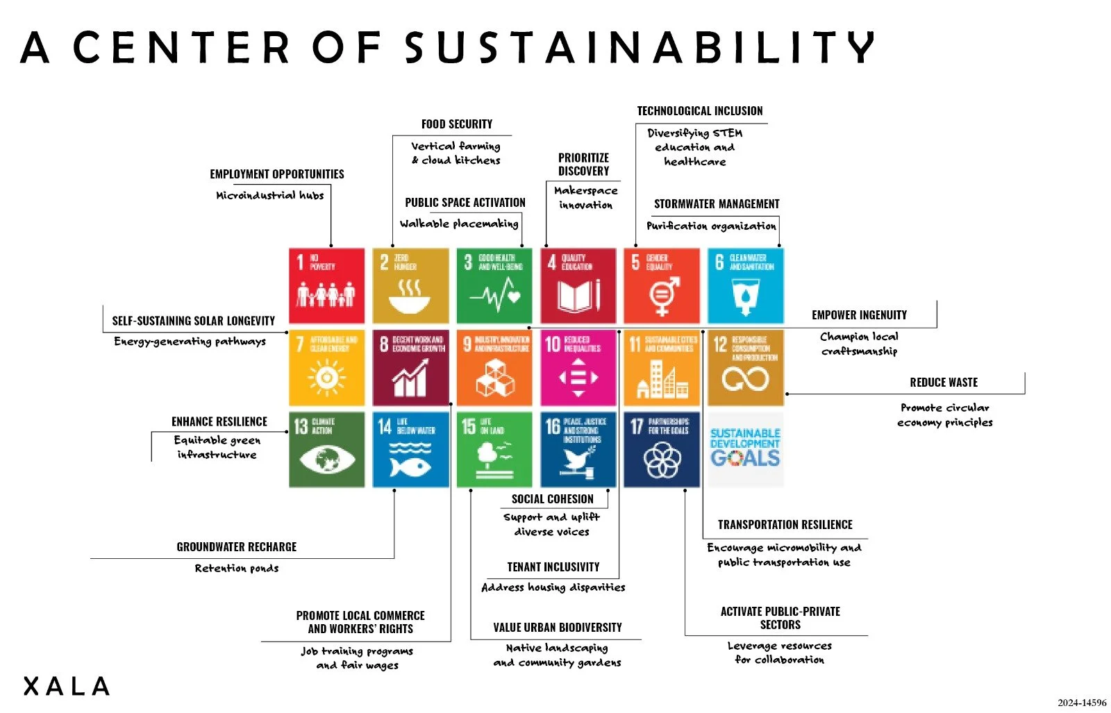
Devised and developed a comprehensive sustainability plan to address environmental concerns and promote equitable, eco-friendly practices that align with all 17 Sustainable Development Goals.
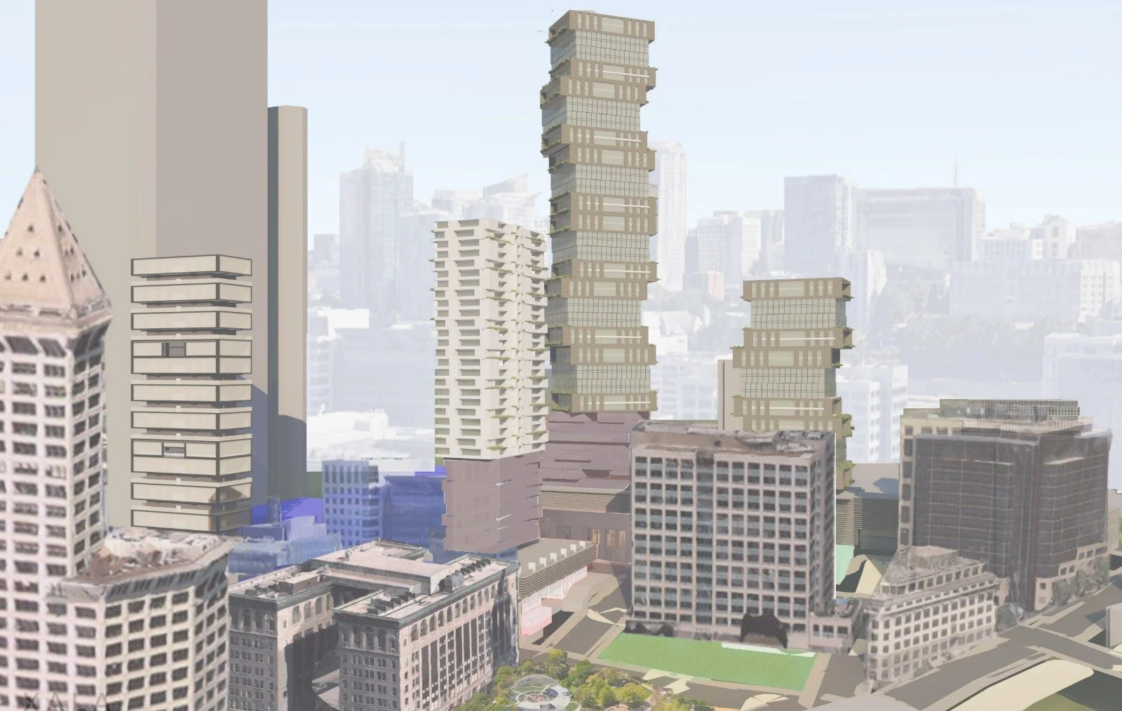
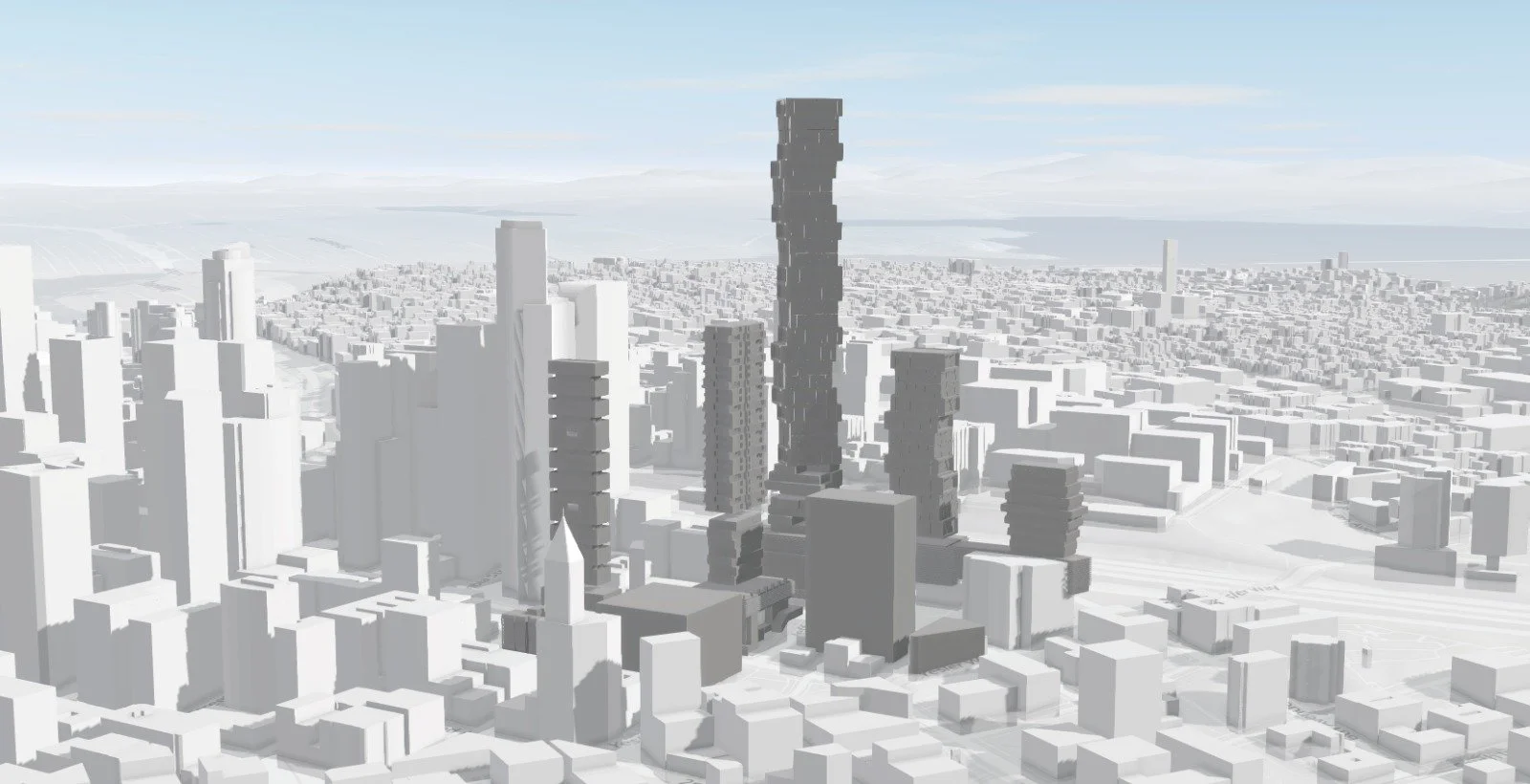
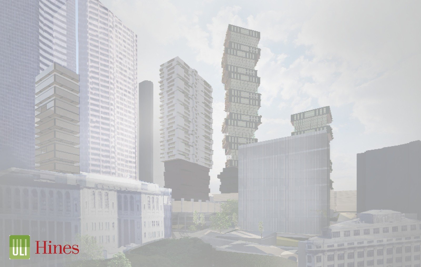
Visualized 3D site plan using ArcGIS Urban, allowing for land use analysis, spatial understanding, and potential development opportunities.
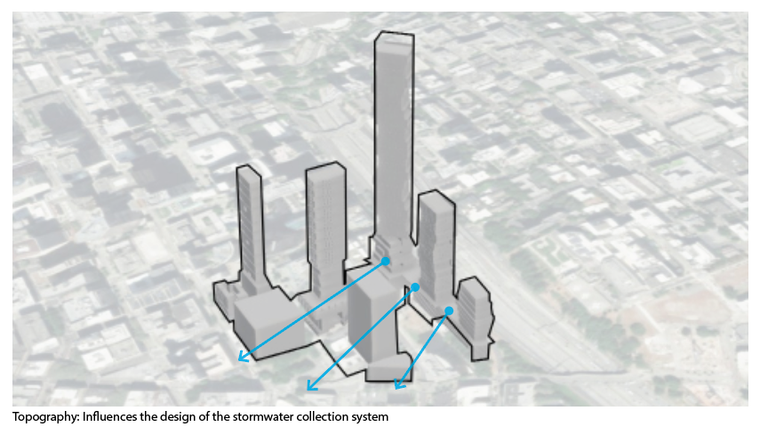
Imported 3D models into ArcGIS Urban for zoning, transportation, and stormwater collection analysis and further renderings.
Developed streetscape plans using Streetmix, incorporating wider pedestrian walkways, street vendor space, parklets, urban furniture, greater micromobility accessibility, and green space for safety and walkability.
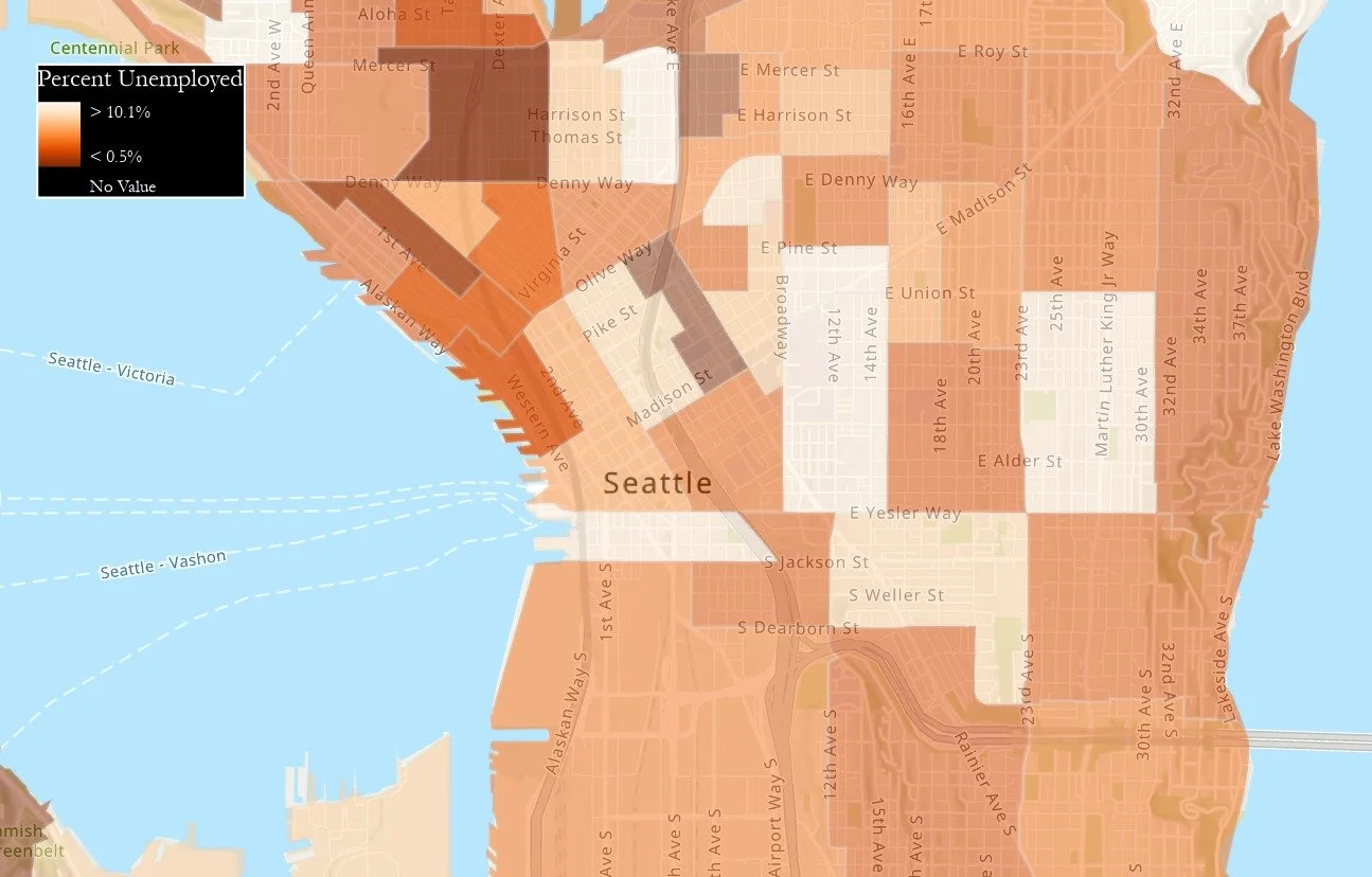
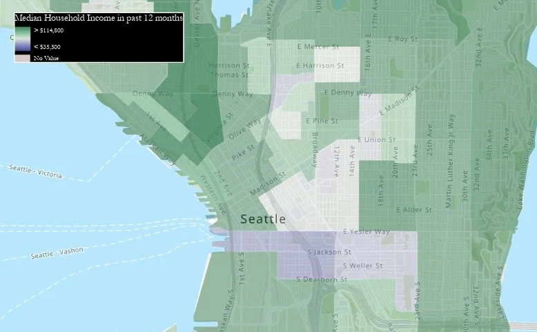
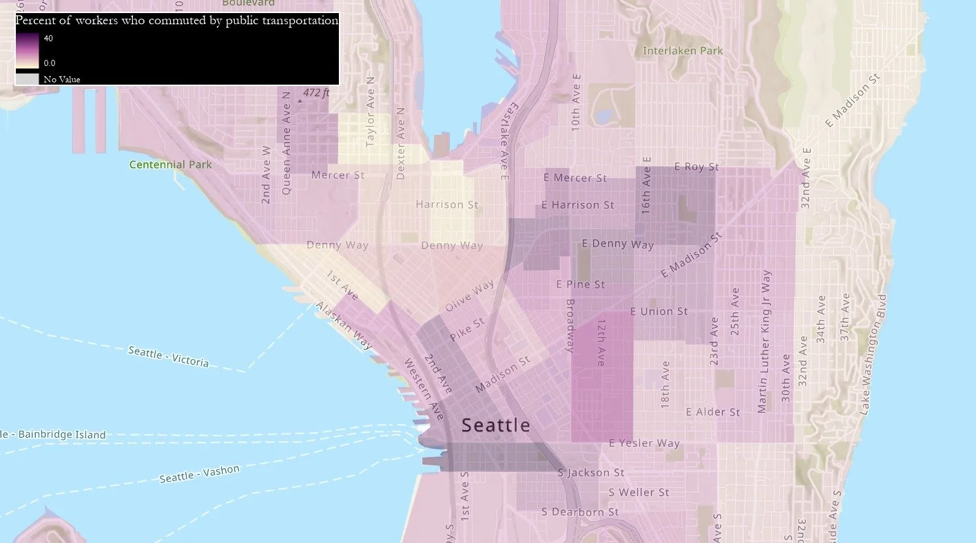
Performed spatial demographic analysis on ArcGIS Pro, including unemployment rates, median household income, and public transportation use.
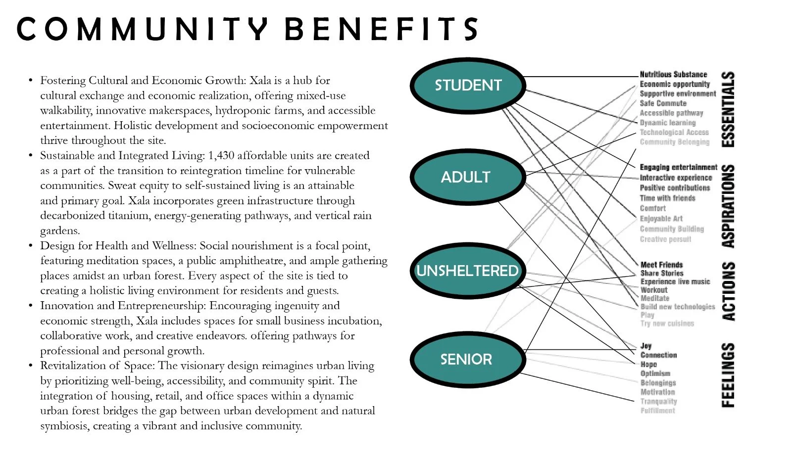
Drafted a community benefit plan aimed at maximizing positive impacts while addressing the specific needs of the community.

